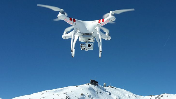
The Weather Company has announced a collaboration with AirMap to deliver real-time weather data for drone operators. The plan is to create hyperlocal forecasts that will allow drone operators to react to changes in conditions. As commercial companies move closer to using drones to deliver parcels and other goods this is good news. Groups such as professional drone operators and film companies will welcome this announcement.

Regulators are tightening up rules on drone operations. The Federal Aviation Authority in the US has updated Part 107 which covers line-of-sight operations. This has particular relevance for professional drone pilots including those working for news organisations. Along with law enforcement they are just two of the groups regularly flying drones over populated areas. This creates the risk that a weather event may bring a drone down.
Mark Gildersleeve, president of business solutions at The Weather Company said: “As a result of this AirMap deal, we can help drone operators not only be in compliance with Part 107 regulations, but also be able to leverage precise and accurate hyperlocal weather data to help guide decision-making and help work towards the safety, efficiency, and performance of their unmanned aircraft.”
Drone operators can have the data delivered to any iOS device including the Apple Watch. This is done using the AirMap app. Data is also available to developers to use with any application by using the AirMap API’s. The latter is interesting as it makes the data available to other applications. Data can also be sent direct to a drone. This would allow it to land safely if it detected a dangerous weather event. With drone manufacturers under pressure to provide geofencing and other safety measures this would certainly meet the requirements.
Conclusion
It will be interesting to see how professional drone operators react to this service. Given that most of them have to maintain line-of-sight they are part of the real-time weather pattern. For those in cities or built-up areas weather is not the only problem. High-rise buildings create wind tunnels and their own microclimates. This is something that would be difficult for The Weather Company to predict and model. However, there is room for third-party developers to build city specific apps that can take the data and model it.
This will also have significant benefits is for autonomous drones delivering parcels. Adding weather to the safety features not only protects the drone but also the payload. The big question is how accurate can details such as wind speed and precipitation really be. The Weather Company claims to be able to deliver highly accurate forecasts using a 15 minute update window. Reducing that to real-time and creating hyperlocal forecasts will be challenging. What is not yet clear is whether this has been approved by or even tested by the FAA.


